
Cities
A transport network is the clearest portrait of how a city grew
Lines, interchanges and fare boundaries record decisions about where a city thought it was going, and the record is easier to read than any history.
By Anjali Raghunathan4 min read
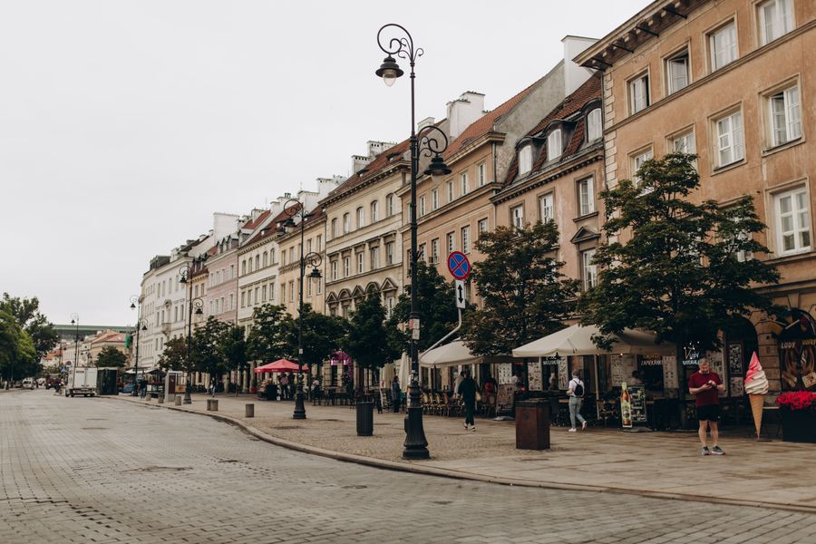
A line is built either to follow demand or to create it
Every rail line in a city was built for one of two reasons, and the difference stays legible for a century. Some lines were laid along corridors that were already thick with people and traffic, replacing horse trams and crowded roads with something faster. Others were driven out into fields on the expectation that housing would follow, financed by people who intended to sell the land beside the track.
You can usually tell which is which by what sits above the stations. Demand-following lines run under old high streets, and their stations open onto pre-existing commercial frontage of the right period. Demand-creating lines have stations surrounded by housing of a single vintage, all built in the two decades after the line opened, often laid out in a fan around the station entrance.
Radial networks funnel everything through the middle
The most common shape is radial: lines converge on a historic centre, because that is where everybody was going when the first ones were built. Radial networks are excellent at getting you from an outer district into the centre and poor at getting you from one outer district to another, which frequently means travelling in to travel out again.
Cities that noticed this problem responded by adding circular or orbital lines, and the position of the orbital is itself informative. It generally traces the limit of the built-up area at the time it was planned, which is to say a boundary that the city has since grown past. An orbital line that now runs through the middle of dense neighbourhoods is a fossil of an older edge.
Where a network is a grid rather than a radial star, you are usually looking at a city that laid its plan before its transit, or one that rebuilt at scale. Grid networks distribute journeys more evenly and produce far less concentrated interchange chaos, which is one of several reasons the experience of changing trains varies so much between cities.
Suburban rail and metro are different animals wearing similar maps
Most large cities operate at least two layers that a visitor tends to conflate. The metro is dense, frequent, shallow-stopping and designed for short journeys. The suburban or regional railway is an older network that once connected the city to separate towns, and those towns have since been absorbed without the railway changing much.
The consequences are practical. Regional trains stop less often, run to a timetable rather than a headway, may require a different ticket or a different fare zone, and often use terminal stations rather than through-running. Turning up expecting a train every four minutes and finding one every thirty is a common and avoidable disappointment.
The compensation is that the regional network reaches the interesting middle distance — the swallowed towns that still have their own market square and their own name for themselves, twenty or thirty minutes out. Those places are frequently the best day out available in a city and they are almost never in the centre-city guidebook.
Fare zones are a statement about where the city ends
Zonal fares are an administrative artefact, but they encode a judgement. Somebody drew a boundary and declared that inside it is the city and outside it is something else, and that boundary tends to follow either an old municipal limit or the reach of the authority that runs the network.
What the map will not tell you is where enforcement is strict and where validation is required. Open systems with no barriers still expect a validated ticket, and the penalty for getting this wrong is designed to be memorable. Validate everything, including on a bus, including when nobody else appears to be doing so.
The gaps are as informative as the lines
Look for districts with no rail service at all. Sometimes they are wealthy areas that successfully objected to construction. Sometimes they are hilly, or cut off by water, or built entirely in an era when everyone was assumed to have a car. And sometimes the absence tracks who lived there when the investment decisions were made, which is a difficult subject and a real one in many cities.
Thin service also shows up in the timetable rather than the map. Two lines can look identical in a diagram and run at completely different frequencies, and frequency is what actually determines whether a network is usable. A line every twenty minutes is a thing you plan around; a line every four minutes is a thing you simply use.
Night service is the sharpest version of this. Which corridors keep running late, and which are replaced by an infrequent bus, tells you exactly which parts of the city the operator believes are still awake — and it will shape your evening more than any other single fact about the network.
Common questions
Why do some cities have several main stations instead of one?
Because the early railways were built by separate companies approaching from different directions, each stopping at the edge of the built-up area rather than paying to tunnel through it. Later attempts to link them produced the through-running lines that many cities added much later, but the original terminals stayed where the companies put them.
Is a travel pass usually worth it?
It depends on how the network prices things and how much you intend to move, so the honest answer is to work out your likely number of journeys and compare. Passes tend to win for visitors who move several times a day and lose for those who walk and take two trips. Some also bundle regional trains, which changes the calculation.
Why does the same journey cost different amounts at different times?
Many networks price by time of day to spread demand, charging more at peak hours to push discretionary travel out of them. Where that exists, the boundaries are precise and unforgiving, and a departure a few minutes either side of a threshold can be a different fare entirely.
Editor, The Next Postcard
Anjali has been reporting on cities, slow routes, rail & road since long before it was fashionable and reads the small print so you do not have to.


