
Coast
The prevailing wind decides which side of a coast you want to be on
Wind is the most persistent variable on any shoreline, and it sorts beaches, harbours, vegetation and settlements into two quite different halves.
By Arjun Nair3 min read
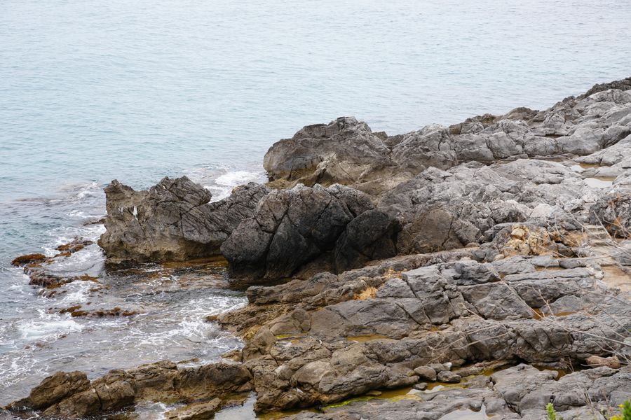
Wind is more consistent than weather
Rain comes and goes and temperature swings from day to day, but the direction a wind blows from in a given place and season is remarkably stable, because it is set by large-scale pressure patterns rather than by local conditions. That stability is what makes it useful to a traveller.
The consequence is that a coast is rarely uniform. One side receives the wind and the sea it drives; the other sits in shelter, and the difference between them can be more pronounced than the difference between two regions hundreds of kilometres apart.
This is not a subtle effect that only sailors notice. It determines where you can swim comfortably, where the harbours are, which side has the trees and which has the scrub, and often which side has the towns.
The windward side gets the weather and the leeward side gets the rest
Where a wind arrives off the sea and meets rising ground, air is forced upward, cools and drops its moisture. The windward slope is therefore wetter and greener, and the far side sits in a rain shadow that can be startlingly dry within a short distance.
On islands with any real relief this produces two landscapes and often two agricultures. One side has forest, streams and terraced cultivation; the other has bare rock, low scrub and a completely different set of villages. Both are the same island and they do not look like it.
Exposure does the rest. Constant salt-laden wind stunts and shapes vegetation, which is why trees on an exposed shore lean permanently inland and why the sheltered side of the same headland can support things that will not grow a kilometre away.
Named winds are a sign that a wind matters
Around the Mediterranean and elsewhere, particular winds carry names — the mistral down the Rhone valley, the meltemi across the Aegean in summer, the sirocco arriving from the south with dust in it. A wind acquires a name when it is frequent enough and consequential enough that people need a word for it.
Those winds are seasonal and reasonably predictable in their season, which is why local knowledge treats them as a feature of a month rather than as a forecast. A summer that is reliably windy in one part of a sea is one of the reasons that sailing traditions, harbour design and even holiday habits differ across it.
The practical effect for a visitor is usually on the water. A named summer wind can mean choppy seas, cancelled small-boat excursions and beaches that are unpleasant on one coast and calm on the opposite one, several days a week, for months.
Harbours and towns record the answer already
You can read the prevailing wind off a map without knowing anything about the meteorology. Harbours are built where there is natural shelter, which means they cluster on the lee side of headlands and in bays that face away from the dominant swell, and they have done so for as long as there have been boats.
Older settlements follow the harbours, so the historic centre of a coast is usually on the sheltered side while modern resort development is wherever there was a long sandy beach, sheltered or not. That is one reason a purpose-built beach town can be exposed in a way that an old fishing port never is.
Breakwater orientation is the clearest single clue. The arm of a harbour wall is built to block the sea that actually arrives, so its direction tells you where the trouble comes from, and by extension which beach will be calm on a rough day.
Using this when choosing where to stay
On a small island or a short stretch of coast, the useful move is simply to know both sides and be willing to cross. Where the crossing is twenty minutes, a windy forecast is an inconvenience rather than a lost day, and locals will move without thinking about it.
Wind also has virtues, and half the coasts described as difficult for swimming are excellent for sailing, surfing or simply for being tolerable in high summer. A sheltered bay in a heatwave with no breeze at all is its own kind of unpleasant.
The one thing not to do is treat a forecast wind speed as the whole story. Local topography funnels and accelerates wind in ways that a regional forecast cannot capture, and a valley mouth or a strait between two islands can be blowing hard while the coast either side is calm.
Common questions
How do I find out the prevailing wind for somewhere before I go?
Wind roses, which summarise direction and strength by month, are published for most coastal regions and are far more useful than a forecast when you are choosing months ahead. Failing that, the orientation of harbours and the lean of exposed trees in photographs will tell you a surprising amount.
Does the wind usually drop in the evening?
On many coasts yes, because a large part of the daytime breeze is driven by the temperature difference between land and sea, and that difference fades after sunset. Winds driven by larger pressure systems do not follow this pattern and can blow steadily for days.
Is the sheltered side always the better choice?
Not necessarily. Sheltered water can be warmer, calmer and stiller in every sense, including the air, and exposed coasts often have the better sand precisely because the sea works it. It depends on whether you are there to swim, to sail or to sit.
Features writer, The Next Postcard
Arjun has written about cities, slow routes, rail & road for most of the last decade and prefers a plain explanation to a clever one.


