
Coast
The sea warms weeks behind the air, and that is why swimming improves after summer
Water has an enormous capacity to absorb heat slowly, so coastal seasons run late, and the best month for swimming is rarely the sunniest one.
By Samar Bhatia3 min read
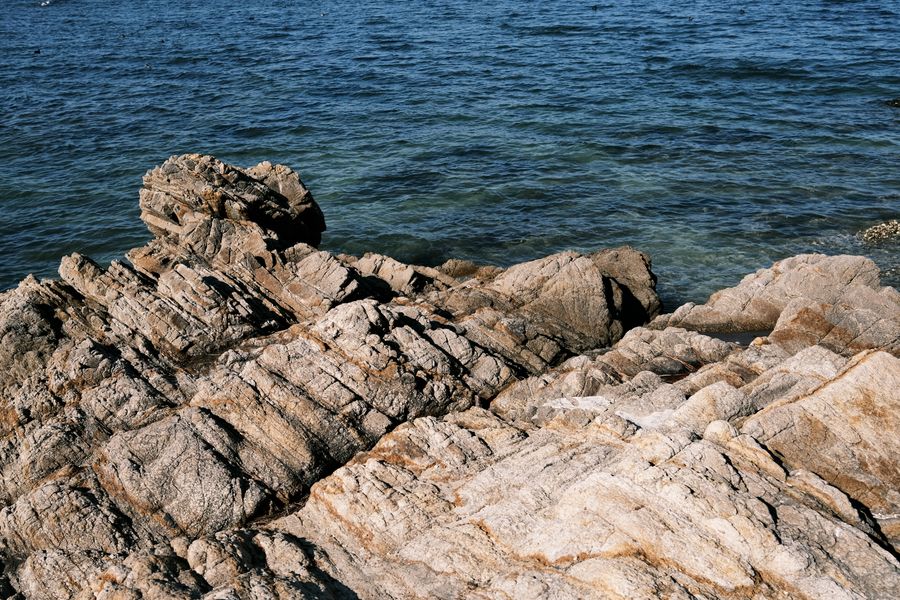
Water is slow to change temperature and that is the whole mechanism
It takes a great deal more energy to raise the temperature of a volume of water than of the same volume of air, and the sea is also mixed by waves and currents so that incoming heat is distributed through a considerable depth rather than sitting at the surface.
The result is thermal inertia on a large scale. Air responds to a sunny week almost immediately; the sea barely notices it. What the sea responds to is the accumulated energy of a whole season, which is a much slower signal.
That lag is the single fact from which everything else in coastal seasonality follows, and it is why the calendar most travellers carry in their heads is consistently a few weeks out of step with the water.
The warmest sea comes after the strongest sun
The peak of solar input arrives around midsummer, but the sea keeps accumulating heat for as long as it is gaining more than it loses. That balance does not tip until well after the solstice, so surface temperatures in many temperate and Mediterranean waters continue rising into late summer and early autumn.
The same lag runs the other way in spring. By the time the air is warm and the days are long, the sea has spent months losing heat and is still near its coldest, which is why a bright spring afternoon on a beach can be delightful and the water can be genuinely shocking.
The coldest sea of the year therefore arrives near the end of winter rather than at the solstice, for exactly the same reason. It is the point at which the loss finally stops exceeding the gain.
Anyone who has swum in the same place in May and in September knows this without needing the explanation. The air can be near identical on both days and the water is not remotely comparable, and the difference is simply the direction the sea has been travelling for the previous few months.
The lag is why coasts have mild winters and cool summers
The same inertia moderates the land beside it. A large body of water acts as a thermal buffer, releasing heat slowly through autumn and absorbing it through spring, which is why coastal climates have a narrower annual range than places a hundred kilometres inland at the same latitude.
This has practical consequences beyond swimming. Growing seasons are longer on some coasts, frost is rarer, and the difference between a coastal town and an inland one in the same region can be a full category of climate rather than a few degrees.
It also means the coast is often the more comfortable choice in a heatwave, since the sea breeze that develops when land heats faster than water is itself a product of the same asymmetry.
Currents and upwelling break the pattern completely
Latitude is a poor predictor of sea temperature on its own, because ocean currents carry water a long way from where it was warmed or cooled. Some coasts are bathed by water that arrived from much colder latitudes and are startlingly cold for where they sit on a map.
Upwelling is the more counter-intuitive case. Where wind pushes surface water away from a shore, deep cold water rises to replace it, and this can happen in the middle of summer, producing a coast where the air is hot and the sea is bracing precisely when it should be at its warmest.
Enclosed and shallow seas do the opposite. A shallow basin with limited exchange warms quickly and cools quickly, so it can be far warmer than an open ocean at the same latitude in late summer and considerably colder in late winter.
Planning around the lag rather than against it
For swimming, the reliable move is to look up sea temperature by month for the specific coast rather than to reason from air temperature or from the position of the school holidays. The data are widely published and the differences between neighbouring coasts are often larger than people expect.
The shoulder weeks after peak season are frequently the best combination available: water near its annual maximum, air pleasant rather than punishing, and far fewer people. That the businesses begin closing during exactly those weeks is one of the more frustrating alignments in travel.
And it is worth holding the whole thing loosely. Surface temperature varies with wind, depth, time of day and the particular bay, and any monthly average conceals a range wide enough that the sea can be several degrees off the figure on the day you arrive.
Common questions
How much later than the air does the sea peak?
It varies with depth, mixing and how enclosed the water is, so no single interval applies everywhere. The direction is consistent — the sea lags the air, and shallow enclosed water lags less than open ocean — but the size of the lag is a local question worth checking for the specific coast.
Why is the sea sometimes much colder a short way along the same coast?
Usually because of upwelling, a current boundary, or a river outflow bringing cold fresh water. Headlands and straits can also drive vertical mixing that brings deeper water to the surface, which is why two bays a few kilometres apart can feel like different seas.
Does a hot week make the sea noticeably warmer?
Only at the very surface, and only in calm conditions where a thin warm layer can form without being mixed away. Swim through it and you will find cooler water below, and the first proper blow will erase the difference entirely.
Senior writer, The Next Postcard
Samar has written about cities, slow routes, rail & road for most of the last decade and is happiest when a piece answers the question completely.


