
Coast
Salt marsh is land the sea is still deciding about
The flat green ground behind many coasts is neither sea nor solid land but an intermittently flooded system, and much of what looks like farmland behind it was taken from exactly the same place.
By Clara Lindqvist4 min read
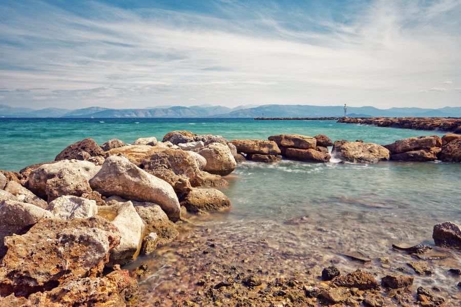
Marsh forms where mud can settle and plants can hold it
Salt marsh needs two things: water calm enough for fine sediment to fall out of suspension, and a tidal range that exposes the resulting mud regularly. Sheltered estuaries, the lee of a spit and the inside of a bay supply both, which is why marshes appear in those places and not on an open surf coast.
Once mud accumulates to a level exposed for part of the tide, salt-tolerant plants colonise it, and their stems slow the water further so that more sediment settles. The surface rises, floods less often, and a new set of plants takes over, so a marsh builds itself upward in a self-reinforcing sequence.
That sequence is legible as you walk seaward. Higher ground floods only on the biggest tides and carries a dense turf; the middle floods most days; the lowest is bare mud cut by creeks. The vegetation changes in bands, and the bands are effectively a map of flooding frequency.
The creeks are the whole drainage system and they are dangerous
A marsh drains through a branching network of creeks that fill and empty with every tide, and they are deeper, steeper-sided and muddier than they appear from a distance. Crossing one on foot at the wrong state of the tide is the classic way for a walk to become an incident.
The tide on a flat marsh also does something people find counter-intuitive: it comes in along the creeks first and floods the flats from behind, so the water can be between you and the shore while the seaward view still looks dry. Local guidance about marsh walking is unusually worth following.
Soft mud is the other hazard, particularly in estuaries where fine sediment has not consolidated. Signs warning of it are not being cautious for the sake of it, and organised guided walks across major estuary crossings exist precisely because the safe line changes with the channel.
Most of the low flat farmland behind a marsh used to be marsh
Reclamation followed a simple method wherever it was done: build a bank around a stretch of high marsh, fit a one-way outfall so fresh water drains out at low tide and the sea can’t come back in, and wait for the salt to leach out of the soil. The result is exceptionally fertile flat land.
The Netherlands is the most thorough example, with polders enclosed and pumped over centuries, but the same works appear around the North Sea, the Baltic, parts of the Mediterranean and many estuaries elsewhere. Straight ditches, a sea wall with nothing beyond it, and a church on a slight mound are the giveaway signs.
Reclaimed ground carries a permanent liability. The soil consolidates and shrinks once drained, so the land surface falls over time while the sea doesn’t, and the defence has to be maintained and raised indefinitely. What was a one-off engineering project becomes a running cost with no end date.
Marsh in front of a wall is doing part of the defending
A stretch of marsh between the sea and an embankment absorbs wave energy across its width, so the wall behind it faces much less force than it would on an open shore. Losing the marsh therefore raises the cost of defending the land, which is the practical argument that changed policy in several countries.
Marshes are squeezed when sea level rises against a fixed wall, because the system would normally migrate landward and cannot. This is why managed realignment — deliberately breaching a wall to let a field become marsh again — has been carried out in a number of estuaries.
Those schemes are contested locally and the disagreement is legitimate. The land being returned is somebody’s farm or somebody’s view, the benefit is spread across a wider area and a longer period, and reasonable people weigh a certain present loss against a probable future saving differently.
For a visitor it’s a bird landscape and a quiet one
Estuarine mud is extraordinarily productive, and the birds that exploit it arrive in numbers that make these places internationally important. Waders feed on the falling tide and are pushed off the flats as it rises, which is why organised watching is timed around high water rather than around daylight.
Autumn and winter are the seasons, which inverts the usual coastal calendar. A marsh in January with a hard frost and a rising tide is one of the better things available on a European coast, and the accommodation that is impossible to book in August is empty.
Access is generally along the sea wall rather than across the marsh, and that is the sensible way to see it: continuous, dry, with a view over both the enclosed land and the flats. Hides and boardwalks maintained by conservation bodies do the rest, and most of them are free.
Common questions
Is it safe to walk out onto a salt marsh?
Only with a good understanding of the tide and of the creek system, and in many places not at all. The safe default is to walk the sea wall or a marked boardwalk, and where guided crossings are offered they exist because the route genuinely needs local knowledge that changes.
Why is reclaimed land often below sea level?
Because drained peat and silt consolidate and shrink once the water is removed, lowering the surface over decades, while the sea outside stays where it is. That is why long-reclaimed areas depend on continuous pumping rather than on gravity drainage alone.
When is the best time to see wading birds on an estuary?
On a rising tide, when the birds are pushed off the flats towards the shore and concentrate at roosts, and in autumn and winter when migratory numbers are highest. Tide tables matter more than the time of day for planning a visit.
Staff writer, The Next Postcard
Clara joined to cover cities, slow routes, rail & road and stayed for the awkward questions and reads the small print so you do not have to.


